Visibility Splay Case Study
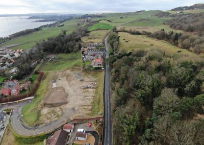
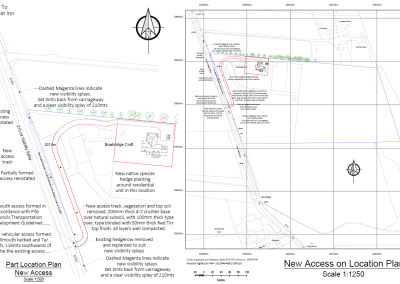
During the planning process for a new housing development, our client was asked to provide proof of visibility from the site entrance to the surrounding road, We were asked to use our aerial surveying techniques to create a point cloud in order to show that the visibility was acceptable.
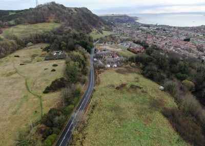
As we stood at the proposed site access it was evident that the visibility to the South was obscured by a high roadside verge and over grown vegetation, also the south bound side of the road was relatively flat for some distance, then the road surface finally dipped downwards nearer the end of the visibility splay, this itself created an additional issue over and above the height of the verge.
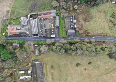
Firstly we set out and collected ground control point data at various locations throughout the area to use for corrections later on in the processing stage. We then carried out an aerial survey of the site, we used our enterprise RTK drones to ensure that our data was accurate and high resolution.
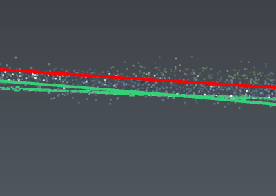
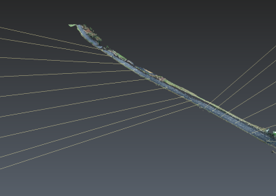
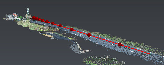
After the aerial survey was completed, we processed the acquired data using our photogrammetry software, this provided us with a 3D coloured point cloud, accurate to an average of 1cm. A portion of this point cloud was then extracted to show only the road in question with it’s verges lowered as would be proposed and the site entrance cleared as proposed by the developers engineers, we were then able to provide 2 vertical lines 1mt high at each end of the proposed 4 metre by 210 metre visibility splay, by adding a line from point to point along the visibility splay, we were able to demonstrate that visibility was continuous along the splay and was not obstructed by the road surface.
This digital visualisation allowed our client to prove that the visibility was in fact acceptable, this would have been an extremely difficult task using conventional methods.
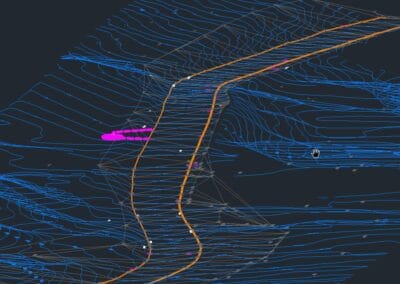
Various section and angles were put forward to accompany our clients application, along with visual flythrough videos from both directions and side on.


