Forest Damage
Drone survey case study
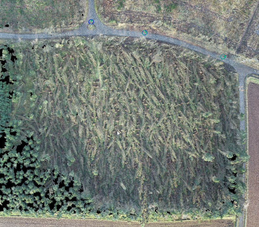
We utilised one of our enterprise RTK drones to capture data for an aerial survey, we also deployed another of our enterprise drones to record 4K aerial footage to give the client an overview of the affected areas and the extent to which the woodland had been damaged.
After processing the data from our RTK survey, we were able to provide the client with invaluable information and models. These included a physical 3D printed model of the area, a digital 3D model of the area which could be viewed on a wide range of devices, and files for use in the client’s GIS software. We also provided a scaled orthomosaic in PDF format to annotate with their proposals for a recovery plan.
The PDF as well as a digital CAD file was shared with the client’s contractors to allow them to work together to form their recovery plan.
Our data allowed the client to accurately measure the area of damaged woodland, allowing them to calculate the cost of restoration. Our client was impressed at the wide range of data we provided, as well as the accuracy of our data that was able to be shared with various third parties of our clients choice.
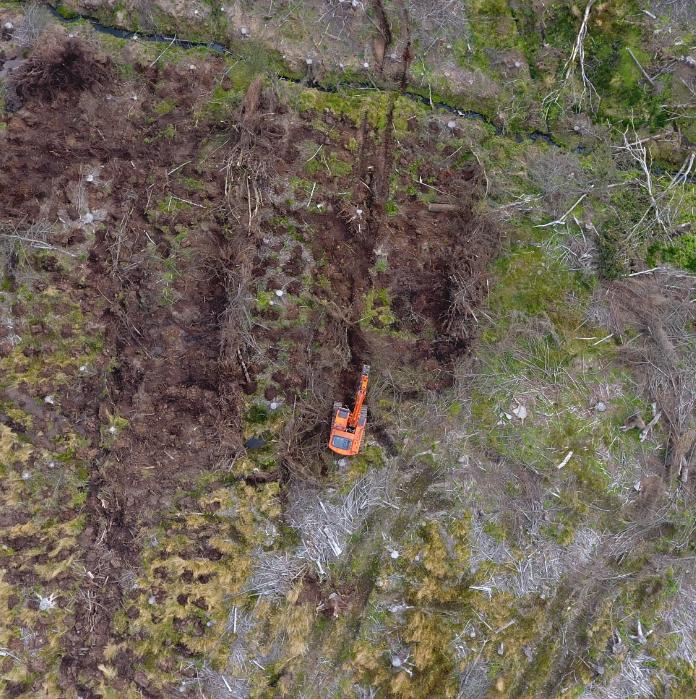
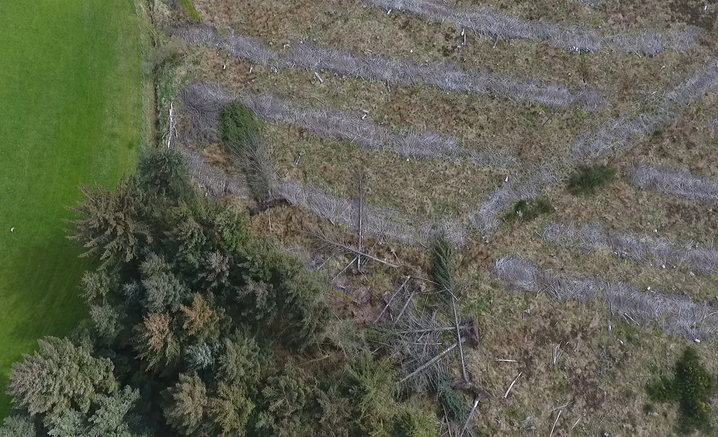
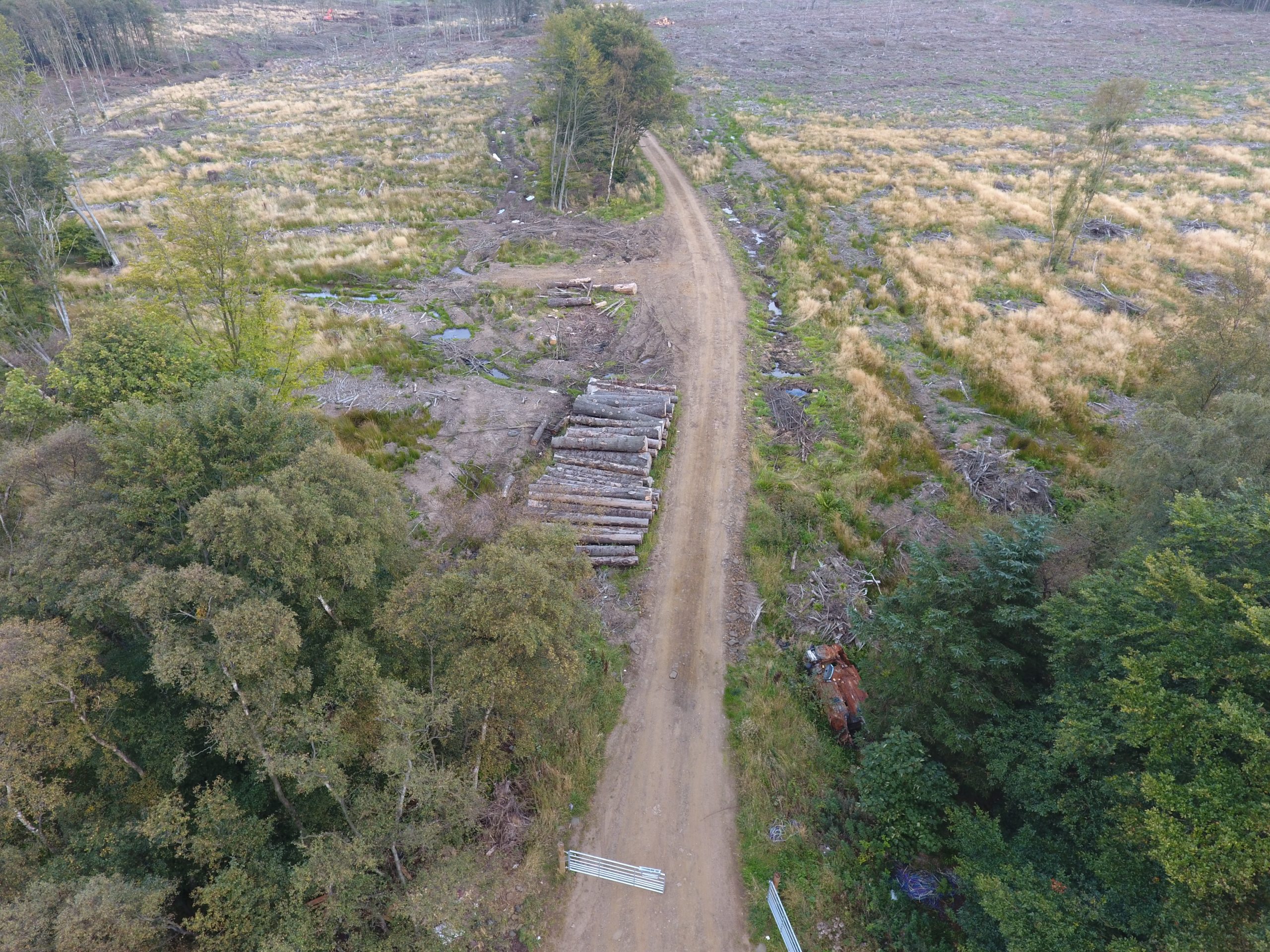
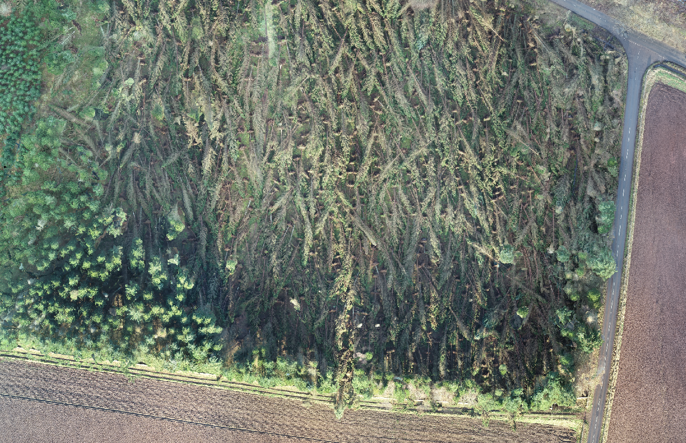
Images of the project