Golf Course Mapping – Craigiehill
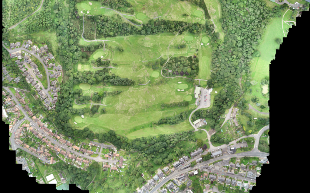
We were asked to attend a site meeting of an existing golf course where one of our clients was a member, the club were looking into the feasibility of reducing the 18 hole golf course down to a 9 hole golf course, the remaining section of the golf course would then be sold on to a housing developer. There was various issues and concerns that had to be addressed and put to the members for a decision.
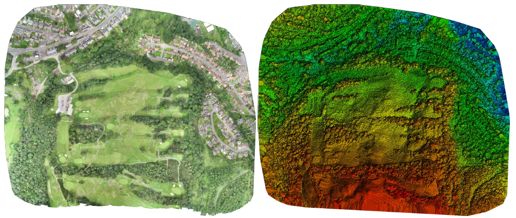
The area of land being sold had quite a fall across the section where the proposed housing would be located, we were asked if we could provide volumes to reduce the site to suit the new proposed levels for the roads and housing plots. The area was known for rock close to the surface, reducing the levels down through the rock could be a costly exercise. Once the final site layout plan was confirmed, this was used with our point cloud to work out cut and fill volumes.


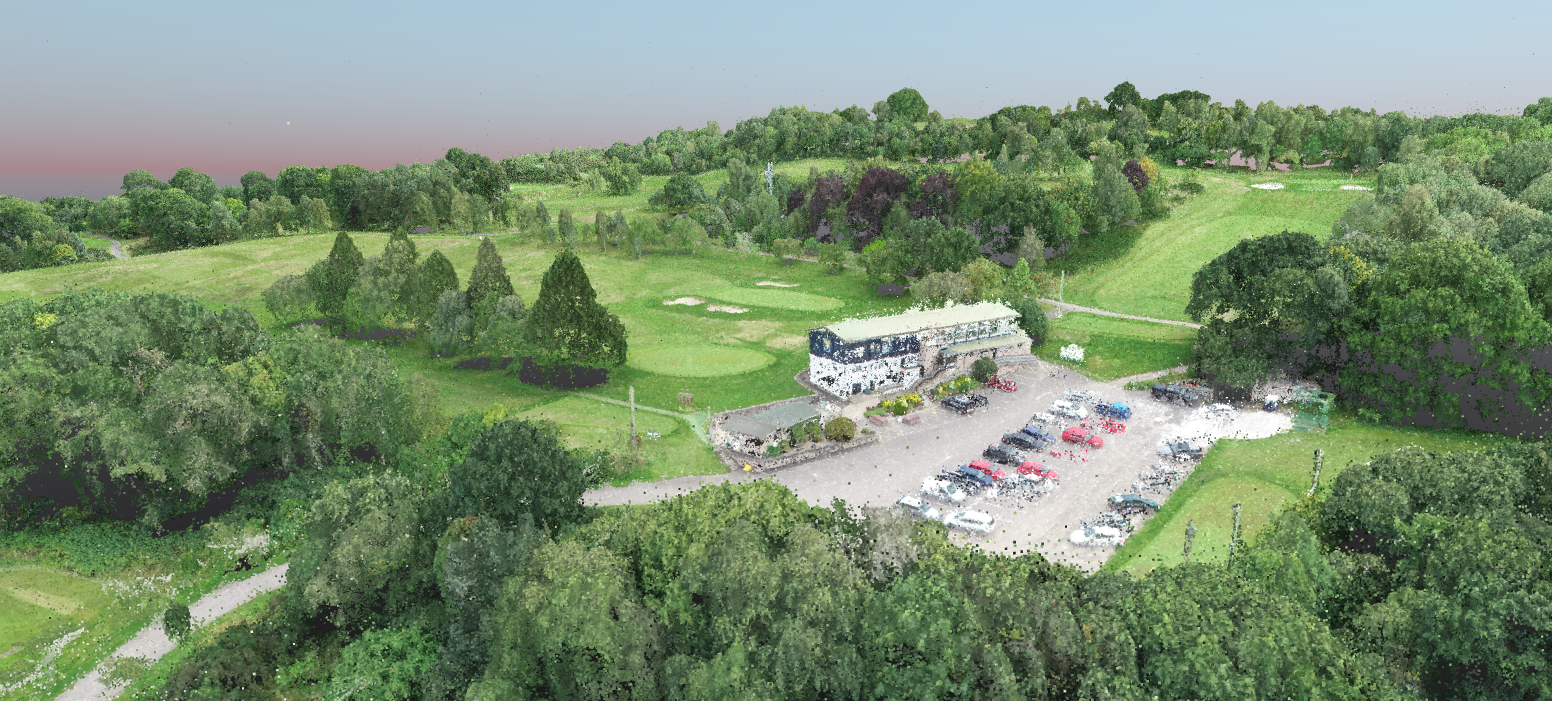
Visualisations are a great way to present a proposed development to investors, clients, planners and in this case the club members, having 3D images and fly through videos to view the proposals allows any concerns to be addressed with a better understanding of a project. These can be used to accompany planning application, presentations at public meetings and marketing purposes

Our processed point cloud allows us to produce a 3D rendered model that can be viewed on a pc or tablet, being able to rotate, orbit and fly thru a 3D model gives you a good perspective of a proposed project by allowing you to interact with the site


