Environmental Issues
Seeing the impact of environmental issues from above
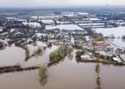
Flooding
Erosion
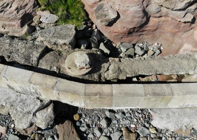
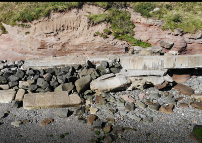
Seawall Damage
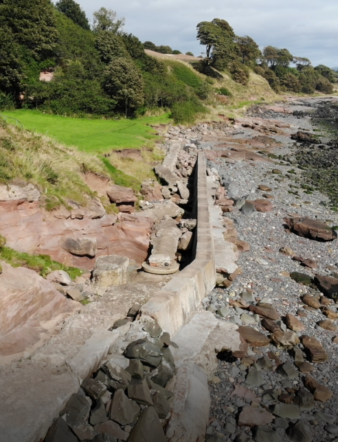
Coastal erosion is being witnessed around our shorelines, regular monitoring of known soft sections of our shores, where erosion increases each year, would allow for vital planning for prevention defence works.
Aerial footage from drones can provide vital information when monitoring any environmental issues, from the air, large areas can be viewed to provide a better understanding of an environmental issue. Flooding is a rising issue each year, aerial mapping can be produced and monitored for record keeping and future planning.
As Scotland dose not have a funded Costal monitoring programme, having data sets recorded on an annual basis of Coastal erosion would allow for accurate records to be kept of high and low tide levels and any receding vegetation lines. From digital terrain models, any potential low lying terrain can be identified as possible flood risk areas or as a possible natural soft area of coastline that are at risk of coastal erosion.
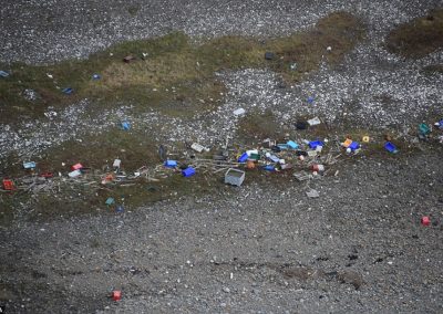
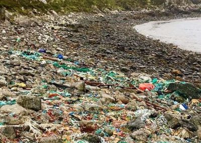
Plastic pollution is an ever increasing issue, from the air, drones can easily monitor and geolocate the worst affected areas in difficult to access sections of coastline, making clean-up operations more efficient.
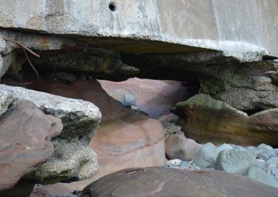
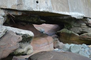
Undermining of existing sea defences
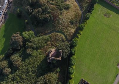
Protecting Castles & Caves
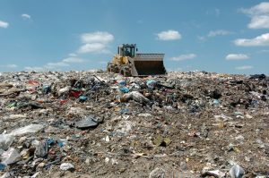
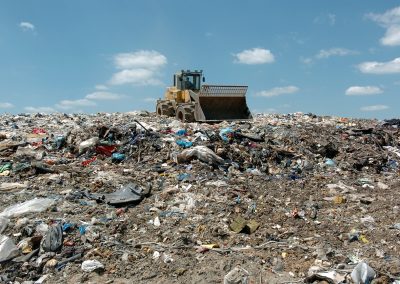
Recording landfill
